

SWC Forums
Pull up a chair...let's talk fishing.

I fortified my home and business for CAT 4 winds when I should have just sand bagged a door or two. Ya'll be safe. I'll be here in Hampstead.
Yeah same here. My wife panicked and we are now at 2700 ft above sea level in the mountains of blairsville Ga. What sucks is in not sure when I'll be able to get back for work. Be safe everyone
not for the technology that they have. they should be able to tell within a couple hundred miles where it will make landfall when it gets close.
Well I for one would like to thank everyone that did take care to protect their property and leave to keep themselves safe.
I’m working....
We may be here for a few days. The fact that there are less people for us to have to worry about during these times the better.
I know a lot of people think they they are good where they stay and I believe a lot of the properties in our area are safe places.
However no one can control the trees that go through houses. The water that rises into occupied homes, the bee stings, the saw cuts, and the many people that decide that they have been stuck in a house without power for a few days so they want to get out and look around during and right after the storm. You get the point...
So I say thank you, as we are here looking out for you and yours.
Everyone stay safe.

Hurricanes are a damned if you do, damned if you don’t situation.
Tanktom, they should all be named after women for that very reason

Sometimes it just much better when they miss it a bit. Just be glad it didn't go the other way. Weather is that just weather and it changes very fast at times. Actually they do a very good job alerting all to potential hazard's.
4 coastal states have evacuated!!! Power went out here Sloop Point community @2:10 unfortunately they are right about it slowing down!!

not for the technology that they have. they should be able to tell within a couple hundred miles where it will make landfall when it gets close.
And I think Captain Dave should be able to tell me what time, date and bait to be using at an exact GPS location to catch a world record Marlin too!
Might want to read this and then tell this gentleman how screwed up he is.
I think the people analyzing and trying to make a prediction for these events do a fair job at best. Who still remembers Matthew? 24 hours before the rain moved inlet every meteorologist and hurricane expert I watched on television swore it was going to go hard right and out to sea. 19 inches of rain later we were inundated with flooding. Really?? 24 hours ahead of time no one could tell us that it was a better than average possibility to drop more than 2 feet of rain in some places well inland! I know it's not an exact science but we have spent billions on satellite, studies, personnel, modeling, etc. The return on investment has been a little disappointing.
Actually they are excellent, in general. Weather forecasting is very hard, that's why it's a cone of uncertainty, and they make it very clear that anything beyond 48 hours is a SWAG at best. The problem is people who just look at a model or map and take it for gospel, or cherry pick the most extreme scenarios to share on social media.
Yeah same here. My wife panicked and we are now at 2700 ft above sea level in the mountains of blairsville Ga. What sucks is in not sure when I'll be able to get back for work. Be safe everyone
what made you choose blairesville?
Yeah same here. My wife panicked and we are now at 2700 ft above sea level in the mountains of blairsville Ga. What sucks is in not sure when I'll be able to get back for work. Be safe everyone
what made you choose blairesville?
I didn't my wife did...her dad has a cabin there so it's a free place to stay with great views.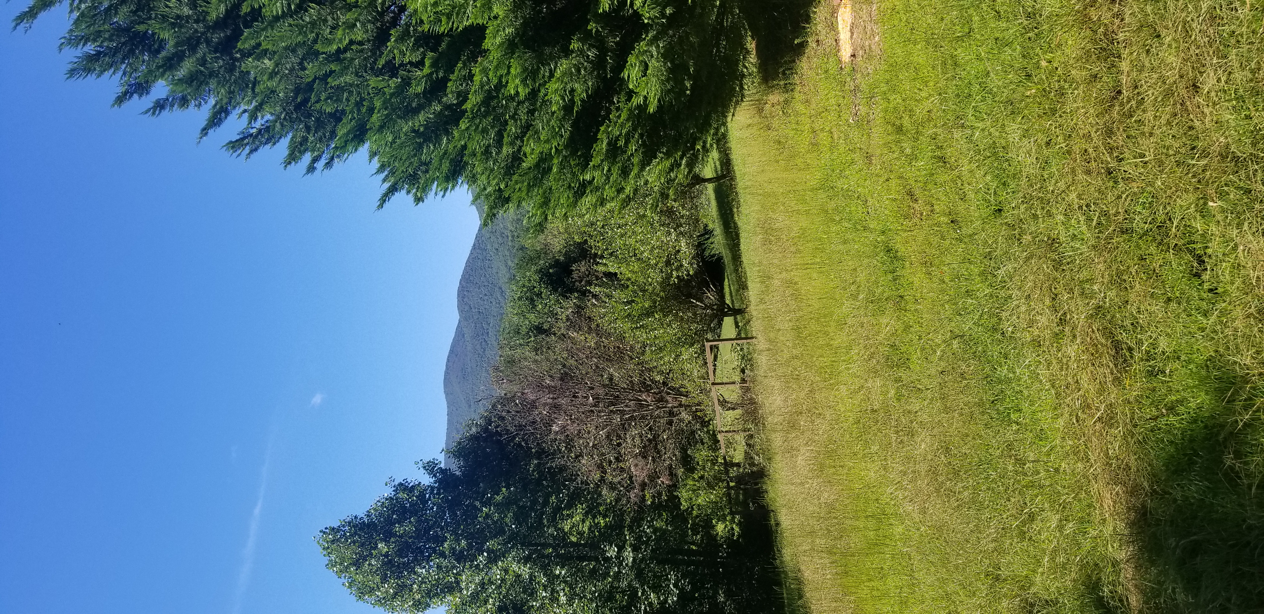
Actually they are excellent, in general. Weather forecasting is very hard, that's why it's a cone of uncertainty, and they make it very clear that anything beyond 48 hours is a SWAG at best. The problem is people who just look at a model or map and take it for gospel, or cherry pick the most extreme scenarios to share on social media.
Thank you. Intensity forecasts are still difficult. This was actually a superb track forecast. 10 days ago the models were showing a NC landfall. Some models were even showing a stall and movement south a week ago. The stall point was off the lower Outer Banks instead of Wrightsville Beach, but the storm was some 2000 miles offshore. Frustration is understood, but it has to be recognized that these forecasters are conservative. If reputable models show a possible Cat 4 as she neared, you cannot take a liberal approach and tell people it will be a run of the mill Cat 1 or 2. It should be noted that model development has incrementally improved track and intensity forecasts. The largest gains in forecast improvement has been the 4+ day forecasts. Also, one of the most important developments of the past 5 year or has been ensemble modeling. Very similar to what was done in ReefCast years ago. You get a good sense of the spread in possible solutions for the track. I think they should do more to show the spread (spaghetti plots) in strength, not just track.
One good things I've noticed with this storm. The new experimental FV-3 global model that NOAA is running now, did much better than the old GFS on track. It did as well as the ECMWF European modeling system that dominates the American model. That will translate to even better track and hopefully intensity forecast as well as winter storms. Another development has been the short term high resolution storm scale model the HRRR. It's what Apps use for the forecast radar on your phone. All models have errors, but this one informing on possible summer thunderstorms several hours prior. Great for boating.
I think the frustrations with the weather people is that they are wrong a lot. I can not tell you how many times they would call for calm winds and calm seas and I got to pack the boat at 5am and the winds are blowing 15-20 mph. However on the other hand maybe that is calm winds and calm seas to them.