SEECast™
Sea Surface Temperature Service
The NEXT step in Offshore Satellite Mapping Technology!
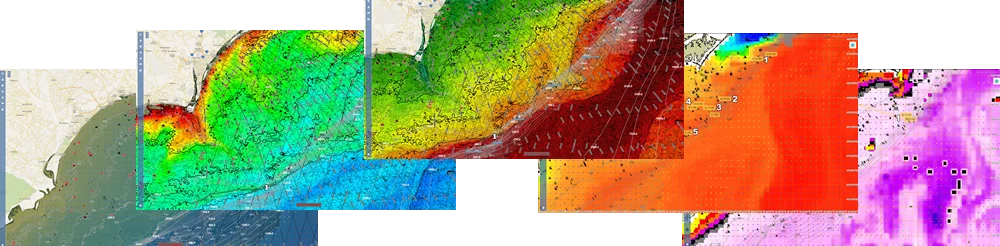
Included SEECast Layers
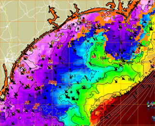
- ✅ AVHRR, MODIS, VIIRS, NOAA, SNPP SST Data
- ✅ Modeled SST for full cloud-free coverage
- ✅ Chlorophyll (MODIS, SNPP, NOAA-20)
- ✅ True Ocean Color & Color Change Detection
- ✅ Turbidity for Water Clarity
- ✅ Sea Surface Height & Salinity
- ✅ Mixed Layer Depth & Surface Boundaries
- ✅ HF Radar Currents (1km, 2km, 6km)
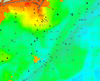
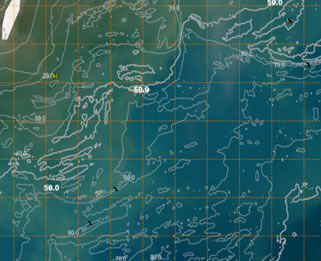
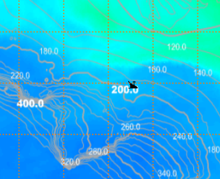
- ✅ Loran-C Lines, ENC Nautical Charts, Routes
Your membership also includes:
- ✅ Tide Tables
- ✅ Solunar Tables
- ✅ Inlet Warnings
- ✅ ReefCast Offshore Weather
- ✅ SST Snapshots & WaveCast
- ✅ Buoy Reports & NWS Forecasts
- ✅ Fishing Reports, Forums & SWC Academy