

SWC Forums
Pull up a chair...let's talk fishing.

just of the coastal region but these are pretty cool and great for anyone not making it back anytime soon.
Heading back to CB tonight.
https://storms.ngs.noaa.gov/storms/florence/index.html#18/34.04726/-77.89173

Steve. Do you know the date this was shot?
Thanks

This is a pretty neat Landsat image.
You can get the full image with this link. It has such high resolution that you can see boats off Beaufort Inlet.

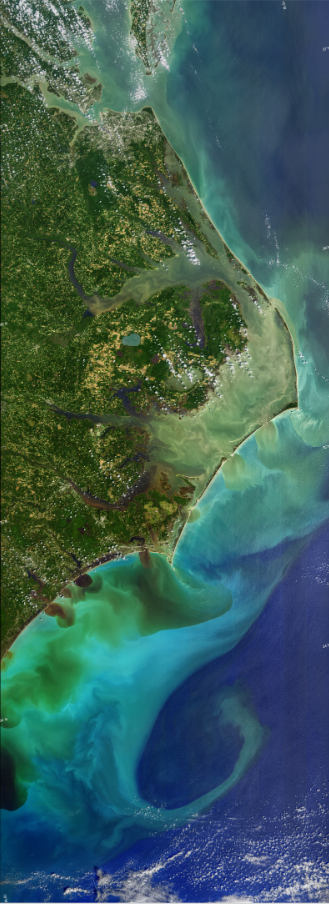
Is it just me or do the shoals at the cape look washed out quite a bit?
If you click on the link instead of the photo, you can really zoom in on details by then clicking the pic, and zooming with mouse wheel/ctrl.
Is it just me or do the shoals at the cape look washed out quite a bit?
Someone posted elsewhere that Shark Island is completely gone, and the Point is considerably shorter.

Steve. Do you know the date this was shot?
Thanks
It was Monday or Tuesday after storm. My boat is back in its spot after taking in off Ocean Isle Beach. I put it back as soon as the bridge opened on Monday at noon.
Definitely click on the link. You can zoom in real close. I was looking at a corn maze I designed and cut near Jacksonville trying to help the grower decide if we can salvage it. The satellite image looks as good as our drone photos. Not everywhere is mapped but areas that are are great shots v
These are lower resolution MODIS true color image. Not as stunning, but you can make out the dirty water. Seems to be mixing more. Long Bay is just nasty from Cape Fear to Charleston. The number in file name is the day.
Here is a link to the NASA site.
https://worldview.earthdata.nasa.gov 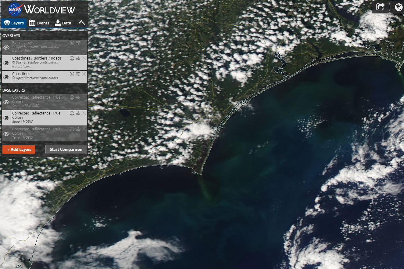
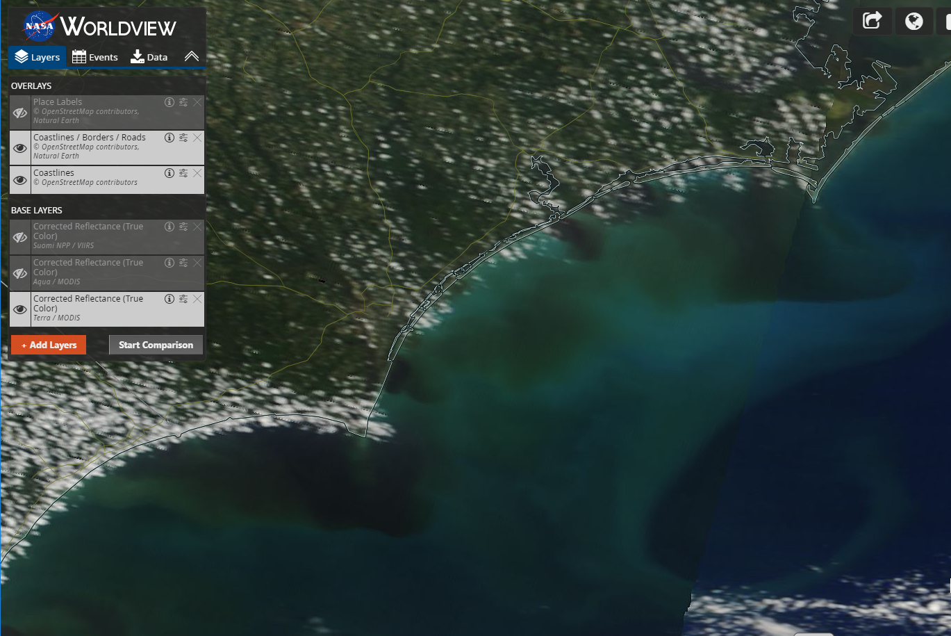
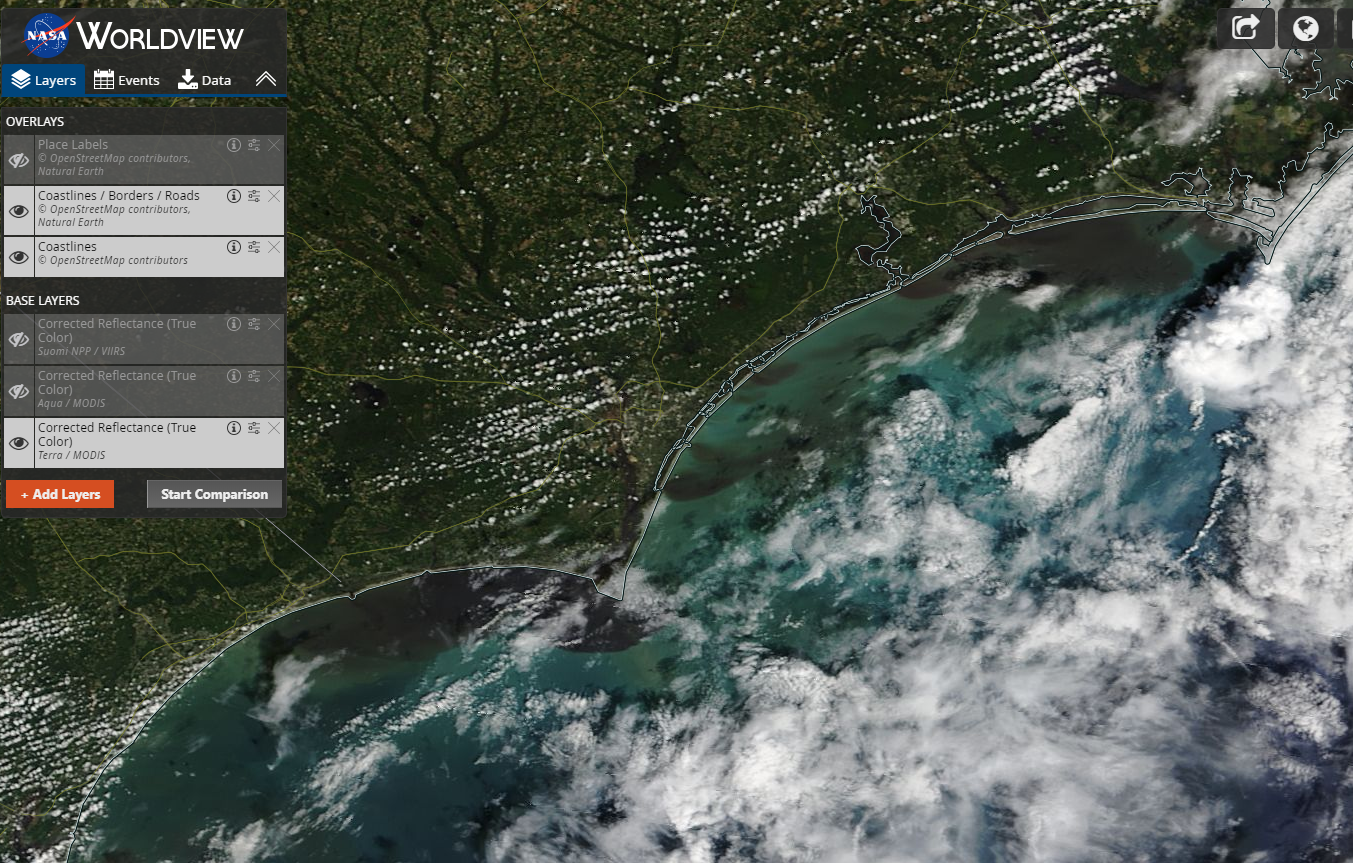

Just wishful thinking or does it look like you could cross right off the point of Cape Lookout now and that Drum Inlet may be better also?
Just wishful thinking or does it look like you could cross right off the point of Cape Lookout now and that Drum Inlet may be better also?
It does look like it, I will be heading down this weekend and Ill try to take a look in person and see...