

SWC Forums
Pull up a chair...let's talk fishing.

Almost 30' at the tower, 14' nearshore

Captn Keith,
Your reports are a heck of a lot better than any of the TV guys. I used your maps to decide to open the 12" gate valve on our community pond. Opened at 9 am Friday and it was down about 3 to 4 feet at dark. This morning it was back up to only about 1 ft low with valve still open. Without opening, probably would have washed over dam. A couple of neighbors were bitching saying "don't open, it's only gonna rain a couple of inches." Glad I opened it up. Your forcast predicted 8 to 9 inches of rain where I live outside Burgaw. The 5 gallon bucket I lashed on top of the 20 ft Wellcraft in the vacant lot next door now has 9 inches of rain in it. Can't ask for much better. Please accept my thanks and also please be online when the next one comes through.
THANKS,
Wayne

I think ReefCast and WaveCast did a real good with this storm.
They were calling it last week when I came in from the Saturday Day Trip (Boss told me about it).
Overall I am very pleased with their proformance.
Dave

guess I could use a nice big plate of crow. never veered off to the east like I expected.

Wayne, Glad the info helped you out... I can not take credit for the info I put for you all too see and use as you will. This info come from the ILM National Weather Service who gets there info from the National Hurricane Center from the aircraft recon planes. Then this info is put in to a computer program called Hurri Track. And then ILMNWS put a power point together and send it for us to review and then there is a conference call to talk about what is going on and well go on. This is done about three times a day when storm are head this way. Then I pick out what can send out and post to the public.
By the way all the news services get the same info too and do what they want with it. It's raw data and they make what they want out of it to get good ratings...
I'm not a Weather Guesser "weahterman" or a meteorology. I'm part of a discussion group that deal with hazards weather and events in North and South Carolina. have been part of this group for over 20 years now. I'm all so a amateur radio operator would works with local Shywarn net in the event of a storm or event. We have repeaters that we can link from the coast to the mountains if need in the event of a emergence. We where linked up to the guys in Morehead and Hatters overnight and this morning getting live reports of what was going on up there. We where linked up to them in case they needed assistance for use down here.
Reefcast and WaveCast have been on the money too. When it started showing it on Saturday a week ago it keep on the same track it showed on there. Its has showed a few storm before NOAA even tell us about them. These are good tools to use to see what is going on out there.
Keith
Wayne PM me your email and I'll send a copy of the one of the brief now it has past use.
keith...I'll defer to you in the future. I still think NOAA forecasts have historically erred to the west of actual wrt storms coming up the east coast, but they seemed to nail this one once it got to about 72 hours 'til landfall.

Hi Guys, Thanks for all your support and comments. Except for losing 5 shingles, a few branches, 5 storm surge and power loss for 36 hours we came out fine!
The eye did pass over us Sat AM but we had the roughest time for the boats all day Sat as the 40-70 MPH gusts came right up our creek. That's the direct with the least protection for our location.
The boats were unharmed!
Thanks,
Fred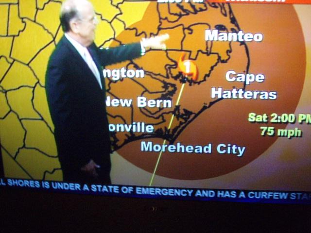
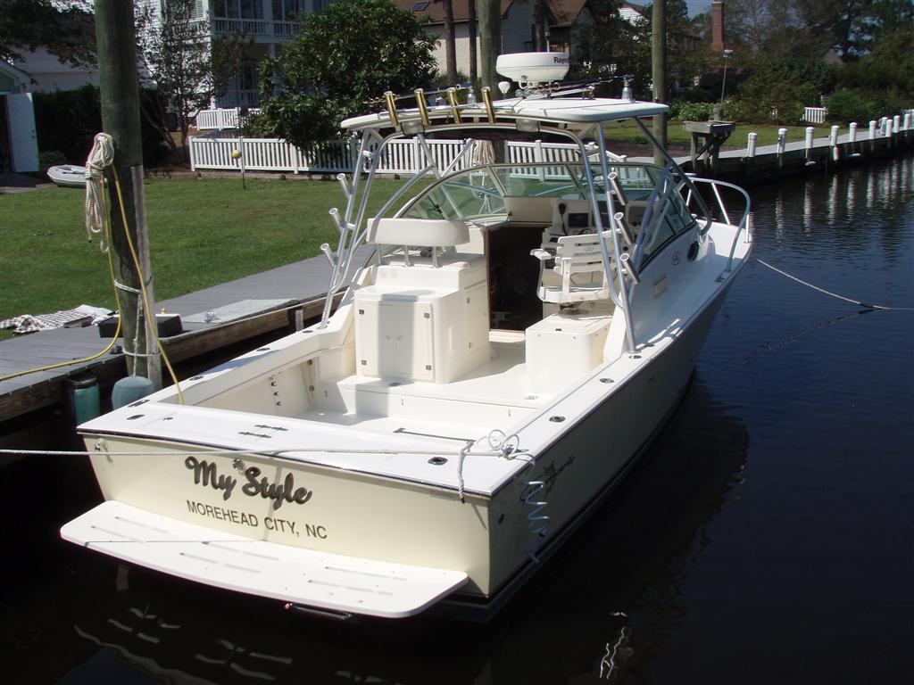
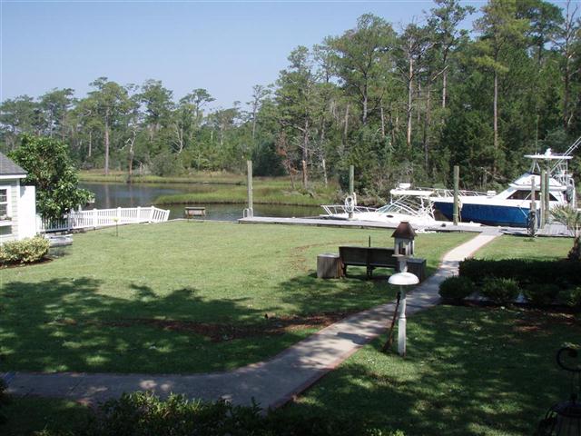
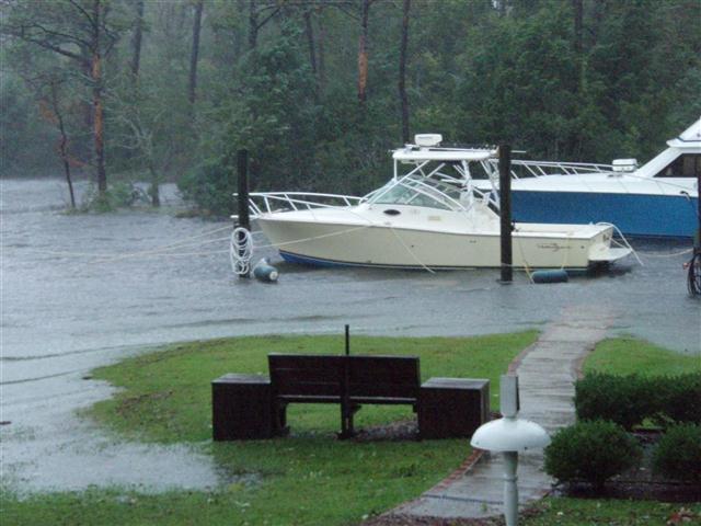

wow! that water did get way up there!
I always go to this page, zoom out, and run through the forecast. Looks like the next storm is heading this way. The model this guy uses is typically pretty accurate.
http://www.swellinfo.com/surf-forecast/wrightsville-beach-north-carolina.html